 |
| Mt. Sembrano's South Summit....taken from the North Summit |
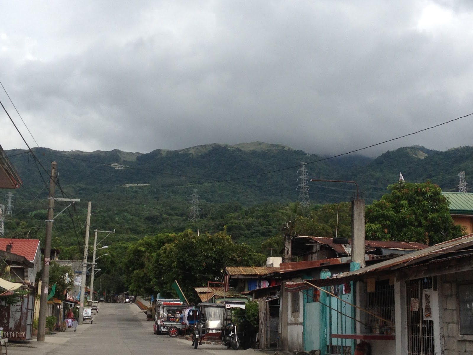
Fortunately, we were able to find our way to the Barangay Hall of Malaya, Pililla, Rizal (where we eventually parked Jaff). After signing our names in the log book and paying the mandatory registration fee, we continued towards the trailhead leading to the summit of Mt. Sembrano which is just 100 meters, more or less, from the Barangay Hall (2nd street after the Flying V gas station). It was already 0755 when we commenced hiking.
 |
| Brgy. Hall / Registration Center |
 |
| It's a cloudy day in Mt. Sembrano |
 |
| The Rocky Road begins where the concrete road ends. |
 |
| "Rocky Road" |
 |
| The trail signs were really very helpful. |
 |
| To the right |
 |
| The Brook |

 |
| Manggahan Campsite |
 |
| Assault |


The cogon overgrowth can really be a nuisance in this part of the climb. As such, wearing rashguards and arm covers would be ideal. We finally arrived at the 1st Camp site / Peak at 1010H. After a brief rest and taking some time to enjoy the view, we continued towards and arrived at the 2nd campsite (North Peak) at 1020H.
 |
| Welcome to the grassland |
 |
| Approaching the 1st Campsite |
 |
| Mountaineer |
 |
| Thank God for the clouds...the climb would have been more exhausting. |
 |
| Hanapin ang pogi sa puno... |
 |
| Approaching the North Summit...with Talim Island and Laguna Lake as backdrop |
 |
 |
| The North Peak |
All the efforts that we have exerted throughout the interminable climb were snuffed by the impressive view of Laguna Lake. Just imagine, having views of the lake on both the western and eastern flanks of the mountain is simply breathtaking. A faint view of Metro Manila on the horizon, and other notable mountains like Mt. Makiling and Mt. Romelo in Talim Island are visible on the western front. On the other hand, the eastern front offers a resplendent of the imposing Sierra Madre, Mt. Banahaw and Mt. Cristobal.
What I consider as a bonus is the one of a kind vista featuring the windmills of Pililla. You bet, it’s not everyday that you get to see the giant windmills seem like miniature dandelions.
While we were having lunch, strong winds blew and thick clouds started to blanket the summit. We braced ourselves for the rain that actually never came.
While we were having lunch, strong winds blew and thick clouds started to blanket the summit. We braced ourselves for the rain that actually never came.
 |
| Approaching the South Peak |
 |
| Best Buddies |
 |
| Lunch |
 |
| Pabebe Wave |
 |
| Clouds blanketed the summit |
 |
| Skookum |
We left the summit at 1210H and again made our way through
the windswept cogon grasses. Clearly invigorated, we surprisingly made it back
to the North Summit in just 10 minutes. We then decided to indulge ourselves
with the view from the North Summit for one last time (…of course, photo ops
included).
At 1240H we are back at the edge of the grassland and started
the slippery and tricky drop back to Manggahan campsite. During the descent,
the now downward slope seemed to be more slippery so had to be extra cautious.
At 1330H, we were back at Manggahan waiting for another round of fresh buko
juice.
At 1350H, we made our way towards Manggahan Falls. According
to the caretaker of the campsite, it is essentially an 8-layered falls and the
last and farthest basin is also the deepest. We chose not to explore the falls
at the time since we already had planned to go to the windmills.
 |
| Back in Manggahan |
The falls is just a 5-minute hike from the campsite. We had to cross the river and continued to the other bank to get to the falls. The water is really refreshing. We really enjoyed the instant massage from the falls by simply setting our backs against the falls.
At 1420H, we made our way back to the campsite and continued towards the jumpoff in no time. It was 1500H when we found ourselves back in the highway buying bread and soda from a nearby bakery.
 |
| Manggahan Falls |
 |
| Take a dip... |
 |
| From the Falls back to the Campsite |


 |
| Mt. Sembrano's North Peak |
At 1530H, we left the Barangay Hall and made our way towards the windmills.
From the junction leading to Brgy. Malaya, we made a turn towards the highway going to the town of Mabitac. As we came closer to the windmills, we finally made a left turn after seeing the signboard along the highway. We passed by at least three windmills, continued towards the end of the road and finally arrived at the viewdeck.
As for what is in store for you at there, I’ll leave it up for you to find out. |
| Palig-Palig |

009.27.015
Brgy. Malaya, Pililla, Rizal
Jump off point: Brgy. Hall, Malaya, Pililla, Rizal
Minor Climb: 4/9
Highlights: Views of Laguna Lake and Talim Island; Mt. Makiling, Mt. Banahaw, and Mt. Cristobal; the Windmills of Pililla; the rest of Sierra Madre, including the numerous fruit trees along the trail; grassland leading to the Summit; Manggahan Falls
Actual Itinerary Mt. Sembrano + Manggahan Falls and Pililla Windmills
0615H - Meet-up / Departure from Robinsons Galleria
0730H - Arrival at the Brgy. Hall (Registration Area). Malaya, Pililla, Rizal
0755H - Commenced Hiking
0805H - Arrival at the end of the concrete road; Start of "Boulder Lane"
0815H - Arrival at the 1st fork (follow the trail to the left)
0900H - Arrival at Manggahan Campsite
0920H - Commenced Assault to the North Summit (Peak 2)
1010H - Arrival at the 1st Campsite (Peak 1)
1020H - Arrival at the North Summit (Peak 2)
1030H - Commenced Assault to South Summit (Peak 3)
1100H - Arrival at the Summit / Peak 3 / South Summit
L U N C H at the Summit
1210H - Commenced hike back to North Summit
1220H - Arrival at the North Summit
1240H - Arrival at the edge of the forest after the grassland
1250H - Start of the steep downhill part of the trail back to Manggahan Campsite
1330H - Back at the Manggahan Campsite
1350H - Hike to Manggahan Falls
1355H - Arrival at the Manggahan Falls / Swimming
1420H - Hike back to Manggahan Campsite
1425H - Manggahan Campsite / Commenced hike back to the Barangay Hall / Jump off
1500H - Back at the Jump off / Barangay Hall / Wash up
1530H - Left Brgy. Malaya for the Pililla Windmills
1555H - Arrival at the Windmills / Viewdeck
1630H - Drive back to Metro Manila
1930H - Arrival at Robinsons Galleria / EDSA-Ortigas
Going There:
Public Transport. From EDSA-Crossing, take the UV Express or Jeepney to Tanay, Rizal. Then at the Tanay Public Market, take the jeepney bound for Barangay Malaya. Another option would be to ride the jeepney going to the town of Jala-Jala. Alight at the Brgy. Hall (Registration Area) in Malaya, which is located along the highway just before the Flying V Gas Station and opposite the Malaya Elementary School.
Private Transport. From EDSA-Ortigas (Robinsons Galleria), continue towards Ortigas Ave. Extension bound for Antipolo. Once at the junction near the Rizal Provincial Capitol, continue to the right and proceed to the zigzag road that leads to Teresa, Rizal. Continue you reach the junction in Baras and take the highway on the left. Continue straight until you reach the junction leading to Brgy. Malaya (it is located a few kilometers from the Pililla Municipal Hall). Take the highway on the right (the left will lead you to the Windmills and Mabitac Laguna) and Brgy. Malaya is 7 kilometers more or less from here. Look for the sign at the junction which points the way to Mt. Sembrano.
 |
| Malaya Elementary School; the road leading to Jala-Jala; and the trailhead is two blocks from here. |
 |
| The 1st of these signs can be seen at the junction. |
Registration is required and the fee is Php20.00 for each hiker. Also, while guides are available at the Brgy. Hall for Php500.00, hiring one is not mandatory.
Hikers are likewise required to pay Php10.00 registration fee at the Manggahan Campsite.
Campsite
There are actually four (4) campsites in Mt. Sembrano. The first is the Manggahan Campsite. It actually is a private property and is the only campsite with a stable watersource. The second is what the locals call as Peak 1. It can easily accommodate 10 tents. A few minutes from here is Peak 2 (North Peak). The last is the actual Summit of the Mountain (South Peak / Peak 3).
Wash up
We chose to tidy up at the Barangay Hall in Malaya. There is no mandatory fee as they only required a donation. We just coughed up Php25.00 each in the process.
Side Trip
Manggahan Falls. It is an 8-tiered waterfall that may be reached after a five (5) minute hike from the Manggahan Campsite. The river below the waterfalls also serves as a watersource for the Manggahan Campsite.
Pililla Windmills. There is a viewdeck that offers the best views of the windmills and also the Laguna Lake. From the junction leading to Brgy. Malaya, take the highway leading to Mabitac, Laguna and after about six kilometers, be wary of the sign on the left side of the highway that leads to the viewdeck. Prepare to chip in a small donation for the locals / Barangay Tanod (...as for us, we gave them Php40.00).
 |
| Windmills Galore |
Food / Eatery
Since we already have our trailfood with us (including lunch) we did not inquire about the presence of eateries in Brgy. Malaya. Hence, I am not sure if there are nearby eateries where hikers can buy food for breakfast and/or lunch.
Budget
As we used private transportation, we only spent Php300.00 (per person or Php600.00 in total) for gas; Php30.00 per person for both registration fees at the Barangay Hall and Manggahan Campsite; and Php25.00 each person for the unlimited shower. Hence, Php500.00 is a safe budget including food and water.
You said the beginning of the hike is just a concrete road. Can I just drive to the end of that road and start my hike from there?
ReplyDeleteYou are required to register at the Barangay Hall first. If the locals would allow you to park your vehicle along the road, I think it's okay to do so.
Delete