 |
| Mt. Balagbag |
Nevertheless, the trail is pretty much the same, all uphill from the jump off point in Licao-Licao up until the summit that is also notably called "Helipad". Aside from that, the trail is similarly open (mostly grasslands and cogon) so prepare to be toasted by the hot sun. Lastly, the trail also has big rocks which could really test one's knees and resolve.
Nonetheless, Mt. Balagbag is one of the mountains that are more accessible from Metro Manila. All you have to do is ride a bus going to Tungko in the City of San Jose Del Monte, Bulacan (as for us, we boarded the bus at the Five Star Bus Station in Cubao). It took us basically an hour travel time until we alighted at the intersection in Tungko. There is a Jollibee at the intersection should you wish to have breakfast first. There are other fastfood joints at the intersection but Jollibee would be the more popular choice since it is open round-the-clock. However, another alternative would be to eat breakfast at the eateries in Licao-Licao.


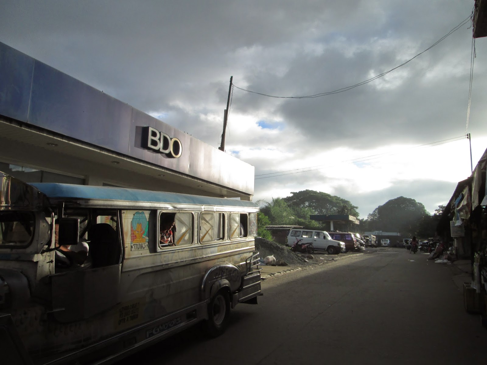
The jeepney terminal is located near the public market after the intersection (note that there is also a market at the back of Jollibee just before the church but this would be the wrong one). Go past the intersection and follow the road going to Norzagaray, then turn right at the opening before BDO and Shell Gas Station. Go past the market as the jeepney terminal is located at the end of the compound (eastern side).


The 1st jeepney departs for Licao Licao at 0530H and the fare is P28.00. Travel time is 45 minutes to 1 hour (depending on the traffic and the instances a passenger alights from or hails the jeepney).
The trip will end up at the jeepney terminal in Licao-Licao, Macabud, Rodriguez, Rizal. Incidentally, this is the jump-off point going to Mt. Balagbag (this is also the same jump off point going to Maranat Falls). As mentioned earlier, stores and eateries are located here so you may eat breakfast here or buy food for lunch or siesta.
Expect to meet a lot of mountain bikers since Mt. Balagbag is one of the mountains popular to both mountaineers and bikers.
Take the dirt road on the northern side (the western road leads to Rodriguez while the eastern portion is where the jeepney will be coming from). From here, it is all uphill (that's why this is mini-Tapulao remember?). There are residential houses, stores, chapels and even a grotto (Our Lady of Faith) along the way. Just after the San Isidro Elementary School is the Health Center where the registration area is located. The registration fee here is P10.00 per person.
 |
| I have read in other blogs saying that there is another trail here that leads to the Helipad |
 |
| The dirt road on the North side...going to Mt. Balagbag |
 |
| Rainbow... jeepneys at the terminal in Licao-Licao |
 |
| the road on the East side...leading to Rodriguez/Montalban |
 |
| Mt. Balagbag is also a paradise for mountain bikers |
 |
| Our Lady of Faith Grotto |

 |
| The School |
 |
| Approaching the Health Center cum Registration Area |
From the Checkpoint, just continue following the dirt road and once you arrive at a fork where you can see a store/house in the middle, take the road trail on the left side. A few minutes from here is the traditional trail leading to Maranat Falls. It is the only road/trail on the left side of the trail leading to Mt. Balagbag. Besides, there is a store at the corner where you can buy additional provisions.
 |
| Once you see this junction, take the road / trail on the left |
 |
| The traditional trail to Maranat Falls goes to the left...straight is the trail that leads to Mt. Balagbag |
 |
| The trail to Maranat...the store is on the left side. |
The rocks in the trail shall subsequently become more pronounced as trees shall become scarcer. This will continue until you reach the junction where the infamous gate leading to the summit of Mt. Balagbag is located (The dirt road on the right leads to Sitio Ilad and is part of the so-called Balagbag Loop).


 |
| Ulingeros along the way |


Once you enter the gate, you shall again be required to register and pay the registration fee of P20.00. We were told that this enclosed area, which supposedly includes the summit, is owned by some "Robes" (who is related to a politician based in SJDM). From here, continue following the rocky trail that leads to the Summit. Again, the trail is all uphill and open.

 |
| the trail from the gate...inside the compound |
 |
| Thank God for the clouds above |
 |
| the main source of electricity is solar power |
 |
| on the way to the summit from the 2nd registration area |
 |
| finally reached the summit |
The summit is truly a piece of flatland that in my opinion, is actually big enough to serve as a Helipad. Shade is actually a luxury here so hope for the rain clouds to come to your rescue or prepare yourself for the wrath of the sun.
 |
| The Helipad |
 |
| Metro Manila skyline....pardon for the noise in the photo :) |
 |
| The gate is on the center-right portion and farther on the horizon is Rodriguez, Rizal |
 |
| The Sierra Madre Mountain Range is covered with clouds |
 |
| Panoramic view at the Summit from NE to SE |
 |
| Kaya pa! |
As we were then aiming to do the Balagbag Loop, we left the Summit through the small path leading back to the huts/registration area. In less than 10 minutes, we were back at the registration area, proceeded to exit the gates and followed the dirt road leading to Sitio Ilad.
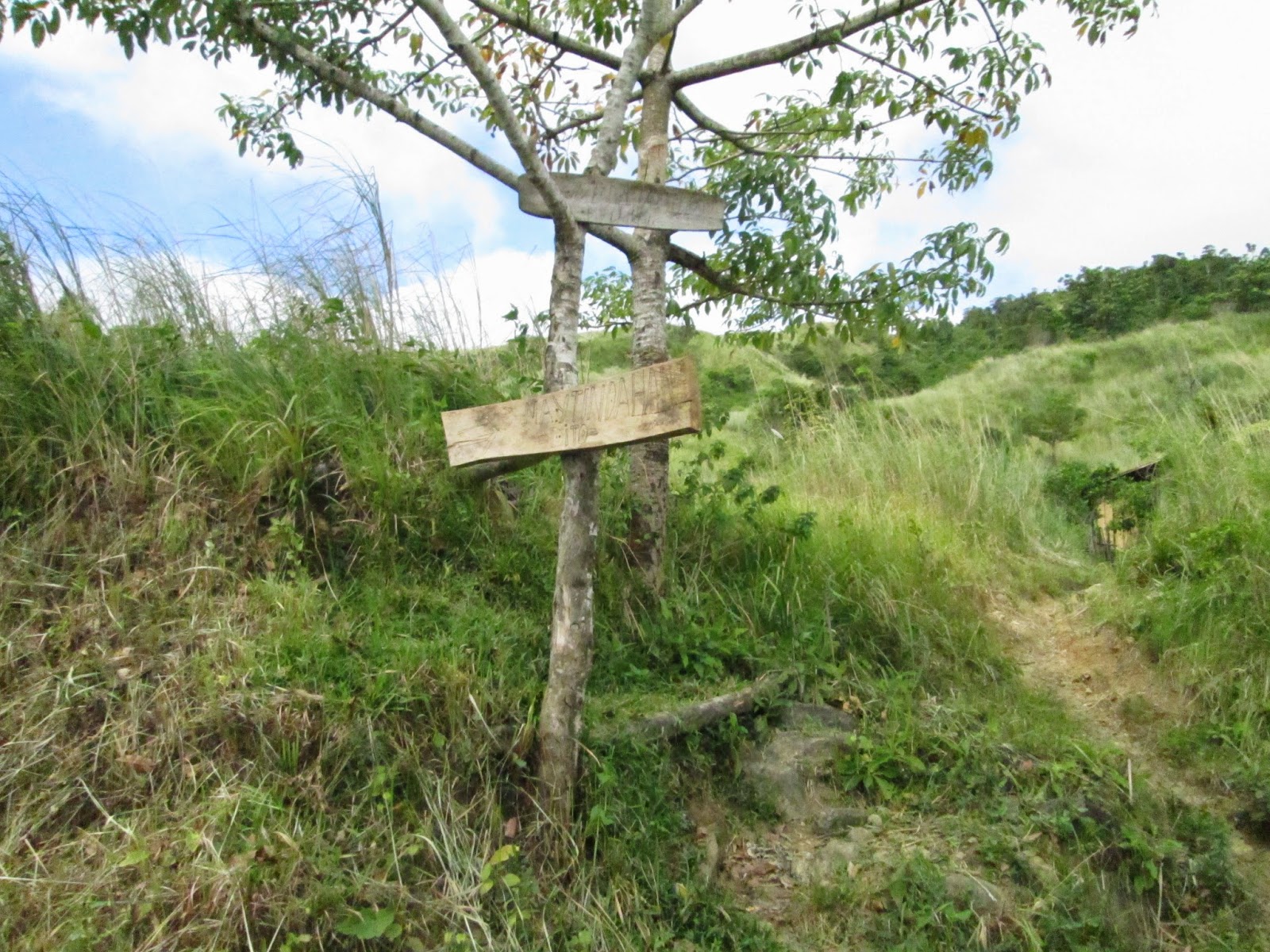
The dirt road shall skirt through Mt. Balagbag. Remember that is part of the supposed "Ulingan Trail" (the trail used by charcoal makers and even informal loggers in transporting their wares), so do not be surprised to see people along the trail carrying sacks of charcoal and even sheets of plywood. Just continue negotiating the dirt road and you will pass by a sign nailed to a tree on the left side of the trail saying that there is a store in the area. You may buy extra food and/or drinks here.
 |
| Mt. Balagbag is on the left side and you just need to push forward this dirt path leading to Sitio Ilad |

 |
| The sign...and there really is a store inside |
From here, expect to reach the landslide (I kept on telling Gani my opinion that this does not look like a simple landslide but seemed to be caused by a fault line). Continue following the downward trail until you see a not so obvious trail on the left side of the dirt road, this actually leads into the forest.
 |
| The Landslide...there are other signs of landslides in the mountains on the other side of the ravine...so I think this is no simple landslide...just saying.. :) |
 |
| Loggers |
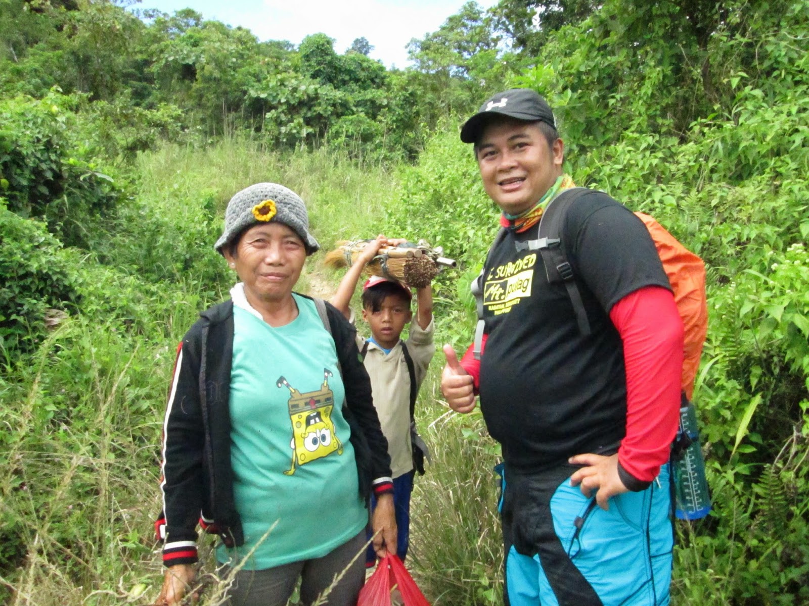 |
| Aling Viring and her grandson...we missed the not so obvious trail going down the river. |
The trail shall at first turn to a ladder-like descent similar to the descent from the campsite in Pico de Loro. This will go on and just follow the trail until you encounter the small river that you will have to cross (from the right side to the left side of the river). Remember that this river could dry up during the summer months. Then the bamboo grove will follow and the trail shall subsequently lead you to the big river.
 |
| This is how the trail looks like...forward leads to Sitio Ilad...left goes to Maranat |
 |
| Take the less prominent trail on the left |
 |
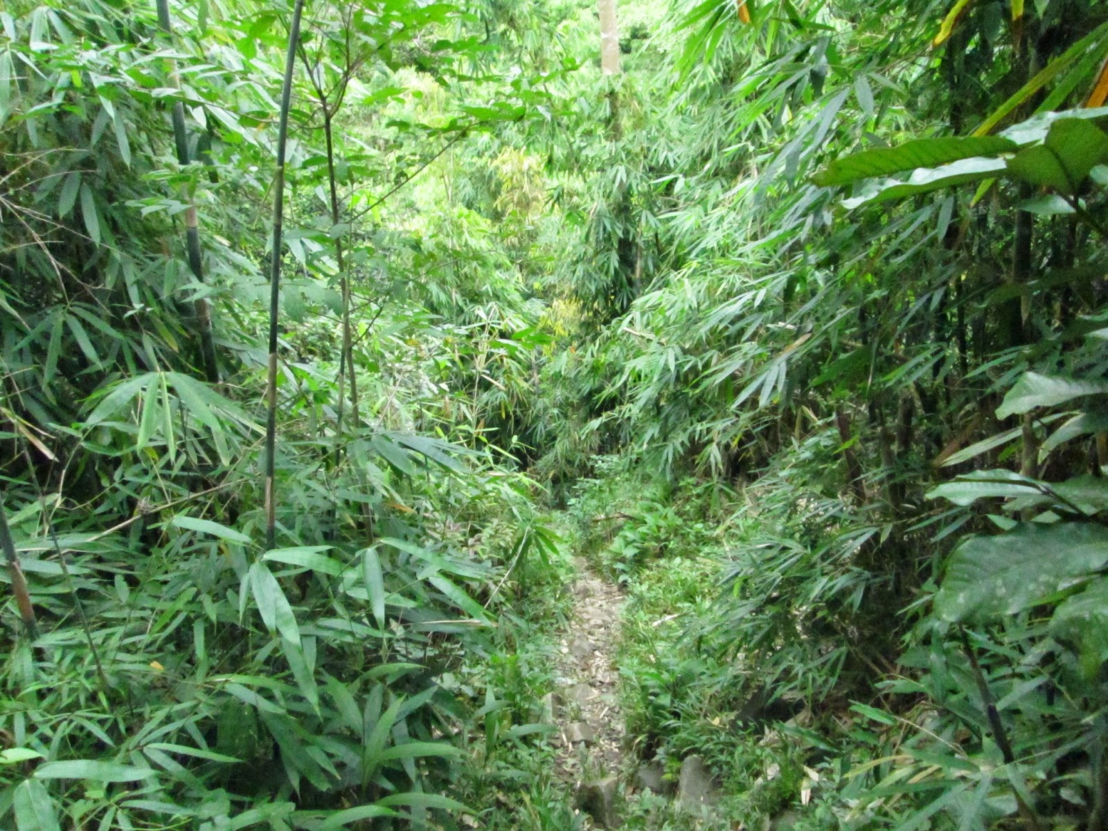
| And you will immediately be inside the forest ala Pico de Loro |
 |
| You will pass by this dead tree |
 |
| At the end of the steep descent |
 |
| cross this small stream (and dead tree) |
 |
| Until you arrive at this stream...super mini falls...cross this stream going to the other side |
 |
| The water is actually inviting |
 |
| the view from the other side of the mini stream |
 |
| Then comes the bamboo grove |
 |
| There are actually signs of reforestation efforts here as there are trees that were recently planted along the trail. |
 |
| then cross this mini-stream / river again going to the other side |
 |
| go straight and you will ultimately arrive at the big river...(I believe it is the Ipo River) |
 |
| River Trekking/ Bouldering |
 |
| Crossing the "makeshift bridge" :) |
 |
| Signs of the Ulingeros along the riverbank on the left side |
 |
| the 1st twin falls on the other side of the river...there is a hut near the falls |
And then heavy rain fell making the river swell. We then had to cross the raging waters of the river a number of times. And then we had to improvise and had no choice but to follow a trail that ultimately led us to the big falls. As we were already dead tired and unable to cross the river/falls, we decided to go back the long route (from where we came from). Hence, it was really double the effort since we had to negotiate the steep assault going back to the Ilad Road.
 |
| Manong was going to he direction of the 1st twin falls...he's also got one nice dog. |
 |
| So we really had to cross the river and its rampaging waters...and then the heavy rain fell |
 |
| ayaw mabasa ang sapatos hehe |
 |
| the view upstream |

 |
| Paradise |
 |
| Lumakas ng lumakas ang agos ng tubig..hehe |
 |
| Breathtaking... |
We even encountered a number of mountaineers before the steep approach back to the dirt road (leading to Sitio Ilad). We regretfully declined their invitation for us to turn back as we were actually on a dayhike (they were on an overnight trek). Hence, we went on our separate ways after a brief chitchat. The climb up the forested area was really draining, and I for one had no choice but to drink water from the river. I could not say if it was already our second and/or third winds, but it was really a relief when we again reached the dirt road.
We then decided to rest at the junction (gate) together with some of the Ulingeros. While here, we enjoyed the scenic view of Mt. Arayat. To our surprise, Manila Bay and Mt. Mariveles are also visible in the horizon.We had our final rest stop at the store located at the fork going to Maranat Falls.
 |
| Mt. Arayat |
 |
| Manila Bay and Mt. Mariveles |


 |
| Mt. Arayat towering by its lonesome in the horizon |

Gladly, we were able to get back to the Licao-Licao jumpoff a shade before 1800H. We were so tired and drained but as we keep on saying, this is what makes the climb exciting. Hopefully we can ultimately complete the traverse next time, as we were actually so near until mother nature intervened.
 |
| I don't know what a Fish Resort actually is. |
 |
| ayos...nag-Crocs pababa..waahaa |
Traipsing Chronicles 013
010.026.014
Mt. Balagbag - The Helipad
Jumpoff: Licao-Licao, San Isidro, Rodriguez, Rizal
Rating: 3/9 - Minor Climb
Highlights: Constantly ascending and open trail; views of Mt. Arayat in the North; the skyline in Libis and Ortigas in the South; the Sierra Madre mountain range in the East; and Manila Bay and Mt. Mariveles in the West.
***If you ask me, I shall personally rate the Balagbag Loop (and back) that we did as 6/9 and is already a Major Climb
Actual Itinerary
0530H - Departure from Cubao (Five Star Bus Terminal) to Tungko (SJDM, Bulacan)
0630H - Arrival in Tungko - Proceed to Jollibee for Breakfast
0700H - Departure from the Jeepney Terminal in Tungko for Licao-Licao
0745H - Arrival in Licao-Licao Jeepney Terminal
0800H - Start Trek to Mt. Balagbag
0830H - Arrival at the Health Center - Registration Area
0840H - Arrival at the store / junction going to Maranat Falls - Rest Stop
0935H - Arrival at the gate leading to the Summit
0940H - Arrival at the caretaker's hut - Register / Rest Stop
1000H - Final push for the Summit
1020H - Arrival at the Summit - Photo Ops
1040H - Leave Summit for the Loop
1050H - Arrived back at the Registration Area / Caretaker's Hut
1130H - Reached the sign saying that there is a store in the area
1150H - Arrival at the fork / intersection leading to the forest / river
1230H - Arrival at the river with a big boulder / mini falls that one must cross
1300H - Lunch along the trail
1310H - Arrival at the bamboo forest
1315H - Arrival at the river / Start of river trekking / Bouldering
1320H - Arrival at the makeshift "bridge" made of 3 sturdy branches
1325H - Arrival at the 1st Twin Waterfalls (there is a hut near it) - proceed river trek / river crossing
1405H - Arrival at the base of the Waterfalls - Bouldering
1410H - Reached the 2nd level of the Water Falls - Enjoy the water
1420H - Decided to double back to the Ulingan Trail
1530H - Arrived at the base of the assault back to the Road/Trail leading to Ilad (left) and Summit
1610H - Arrival at the Road / Trail, turn Right back to the Gate
1640H - Arrival at the gate - Rest Stop
1710H - Arrived at the Store / junction going to Maranat - Snacks / Rest Stop
1730H - Proceed Trek to Licao-Licao
1755H - Arrival in Licao-Licao / Wash up
1830H - Departure from Licao-Licao to Tungko
1920H - Arrived in Tungko - Dinner / Snacks
2000H - Left Tungko for Cubao
2140H - Arrival in Cubao
Trails. There are supposedly at least four (4) trails leading to the "Helipad". However, the Licao-Licao Trail (which is actually a dirt road) is the most popular considering its accessibility. Hikers may actually hire for P100.00 per person a tricycle that would take them deeper into Brgy. San Isidro (where the Health Center and the Checkpoint is located).
Traverse. There is supposed to be another trail from the Summit of Mt. Balagbag that leads to Maranat Falls. Just ask the caretaker at the 2nd Registration Area about this as he was at that time offering to guide us for a fee.
Moreover, there is similarly a traverse going down to Rodriguez/Montalban, Rizal. I hope to try this trail next time and share the same to everybody.
Security. There are security concerns before about climbing Mt. Balagbag, but I'd say that we had a say and fun climb when we went there.
Wash up. Wash up areas are present at the Licao-Licao jumpoff for P20.00 per person.
Transportation. Although the last trip for jeepneys is scheduled to leave at 1800H, the drivers may decide to extend their operations so long as there are hikers along the trail making their way to Licao-Licao. (We actually left Licao-Licao at 1830H).
 |
| Iskedyol ng Dyip...pero payag silang mag-ekstend basta may pasahero pang parating |
Hikers may choose to bring their own transportation but you may have to park at your own risk. Sedans may negotiate the paved roads until Licao-Licao (there is a graveled portion of about 200 meters). However 4x4's may negotiate the trail / dirt road until the checkpoint / health center.
Food. You may choose to eat breakfast at any of the fastfood joints in Tungko or decide to have breakfast in Licao-Licao altogether. You may likewise buy food for lunch in Licao-Licao as the prizes are competitive.
***Mt. Balagbag is also discussed in one of my previous posts, just click on the link below:
Mountains near Metro Manila for Novice Climbers
No comments:
Post a Comment